Everyone, even that one guy living in a cave, has been following the Thomas Fire and its week long path of destruction across Ventura County, into the Los Padres and crossing into southeastern Santa Barbara County. We’ve been talking to so many different people involved and impacted by the fire ranging from fire crews to 80 year old LP lifers and the consensus is that Thomas is “the gnarliest fire we’ve ever seen”. A couple quick stats:
- Thomas is now 230,500 acres and growing! That ranks 5th all-time in California wildfire history and the 2nd all-time largest Los Padres wildfire, just a hair behind the 240,207 acre Zaca Fire of 2007.
- By comparison it took Zaca 117 days to burn approximately the same acreage that Thomas has chewed up in a week. Thomas could surpass Zaca later today.
- Thomas also ranks #10 in most destructive California wildfires and #1 for a LP incident with 790 destroyed structures. Acreage, shmacreage – lets hope Thomas stops at #10 on this list for sure. #1 on this list was the Sonoma/Napa fires from October 2017 which burned 5,643 homes! Quite a destructive fall wildfire season.
- 65,000 of the 230,500 burned acres are within the Los Padres with most of the LP acreage burning within the past 2-3 days.
- Thomas is currently 15% contained with nearly 6,400 fire crews and support personnel engaged in the fight.
- The cause of the fire has not yet been shared.
The catastrophic loss of homes is just so sad. Many of you reading this email probably know someone who has lost their house or a friend of a friend who is now homeless. It’s really hard to put it all into words and we’re not out of it yet. The fire rages on now above Montecito, Summerland and Carpinteria with still 18,000 structures threatened. Schools are closed, frequent power outages, middle of the night emergency evacuation messages and those wishing for a White Christmas got their wish as most Santa Barbara County residents have been living in N95 face masks. It’s been just as the 80 year old man told us, “gnarliest fire we’ve ever seen”.
— • — • — • —
Q: Is the forest open?
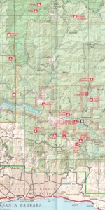
Much of the Southern Los Padres is now closed (closure order and map). The closure covers large portions of the Santa Barbara and Mt. Pinos Ranger Districts and all of the Ojai. This closure, in some shape or formation, will be here for a while. It is expected that the fire will continue burning within the LP until we get some sizable winter rains. At that point the footprint of the fire will dictate the closure perimeter and based on past FS closure orders we’d expect that footprint to remain closed well into the spring.
Q: What’s the best source of information?
Good question and no shortage of answers. We’ll share a few links and you can probably find better links that are more appropriate for what you are looking for:
– KEYT News Channel 3 has been doing a solid job streaming the fire since it entered SB County.
– InciWeb is the best source for overall incident information including evacuation warnings, maps, etc….
– Lots of maps: NWCG, DirectRelief, SARTopo, WIFIRE, Public Information
– Twitter is fantastic in natural disasters, search #ThomasFire and then include your local community for a more specific search. Ex: #ThomasFire Ojai
Q: What trails burned?
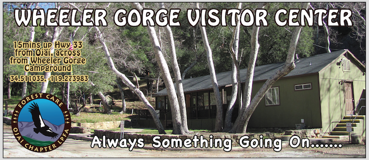
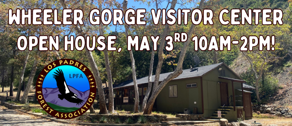
We’ll spend more time on this once the fire is wrapped up but as of now the following areas/trails received at least some fire damage: Santa Paula Canyon (including East Fork), Santa Paula Peak, Topatopas, Sisar, Red Reef, Lion Canyon, Horn, Gridley, Pratt, Bear Heaven, Howard, Cozy Dell, Fuelbreak, Shelf, Wheeler Gorge (the Visitor Center survived!), Dry Lakes, Ortega, Matilija, Matilija Falls, Murietta, Franklin, Monte Arido, South Pot Seco Rd, Upper Santa Ynez, Alder Creek, Ocean View, Divide Peak, Juncal, Romero and Blue Canyon. Awful seeing a list that long. We might have missed a few as well, again we’ll focus more on this later and unfortunately this list might continue to grow. NOTE: Pendola Station is wrapped, fingers crossed!
Q: At least those trails are clear now?
While we appreciate the optimism, in almost all cases fire does not help trails. Vegetation is what makes trails, especially along steeper trails, it holds the soil in place and keeps the tread intact. Without vegetation, the trails will (in a best case scenario) be covered in ravel after this winter. Most likely we’ll have to wait a season or two for the vegetation to come back before removing that ravel and starting to restore the tread. With all the fires over the past decade we’ve become far too familiar with fire trail recovery. Most of the trails impacted by the fire will remain closed for a while and might need some major repairs in order to reopen. Not good. And there has been so much work done over the past years to repair many of these trails, it’s sad seeing all that work go up in smoke.
Q: What about the animals? Will they have water to drink?
We’re not biologists but those animals that were able to run away from the fire and/or hunker down should be fine. Water within the creeks did not evaporate, there will still be water. Plants regrow quickly and there will be plenty of nearby wild areas that the animals can head towards. We saw fresh deer tracks well within the black less than a week after the 2016 Rey Fire, we expect the same with Thomas. That being said, the animal population was certainly hit hard. Here’s a story regarding California condors threatened by the Thomas Fire.
Q: What does this mean for winter storm damage?
Great question. There are hydrologists assigned to the fire who are working on this right now. Most wildfires occur in the summer, giving the burned plant life at least a few months to regrow before winter kicks in. That plant regrowth helps hold soil in place for when the winter rains start. We’re in uncharted waters here as the rain could come any week now giving the plants such a short period of time to start coming back. It might mean unprecedented levels of sedimentation into Matilija, Jameson and Gibraltar reservoirs. It could also mean extended road closures, Hwy 33 for example is normally closed a few weeks each winter due to landslides, it could be closed all winter. Who knows….. Ray Ford wrote an article in Noozhawk this week in regards to previous fires stating “it wasn’t the fire that hurt so much, it was the floods that came through the next winter.”
Q: What does the LPFA do to help, how can we help?
Another great question. The LPFA has been assisting however we can with fire logistics and sharing information but most important right now is for all of us to just stay away and let the fire crews do their thing. Once the fire is contained the FS will start getting BAER (Burned Area Emergency Response) teams involved in quickly assessing and fixing potential winter storm damage within the forest. They might be started on that already. LPFA will assist with that as needed as well. Then when the time is right we’ll start working with the FS to survey trails, photo-document trail conditions, share that with the public and ultimately work with the FS and other groups to restore and reopen the damaged trails. As of RIGHT NOW, there’s not much any of us can do within the forest other than stay out. That being said, if any of you could use help with any fire related cleanup or anything the LPFA might be able to assist with outside the forest, let us know as we’ve received quite a few emails from volunteers asking how they can help.
— • — • — • —
The 2018 Los Padres Calendar is printed and ready to ship! They turned out great.
Help support the LPFA while at the same time chipping away at your holiday shopping list
And if you like these emails and would like to support the LPFA, donations and memberships are always welcome!