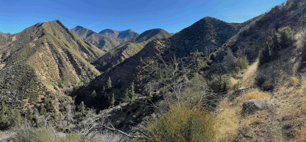
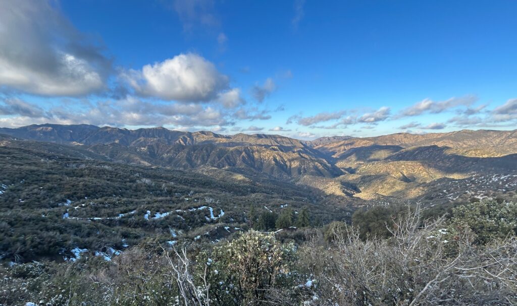
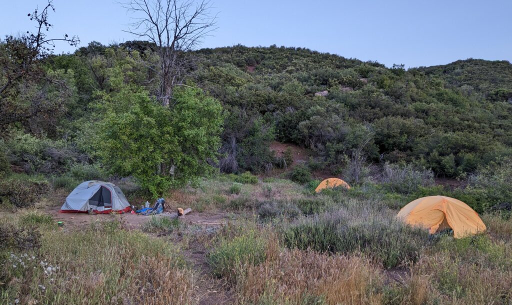
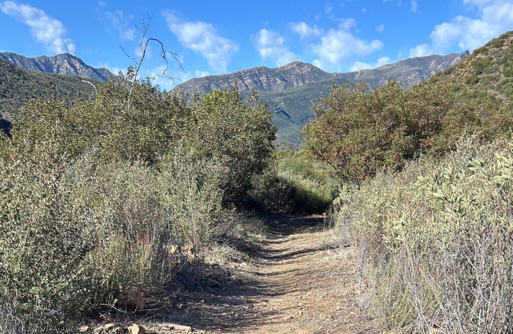
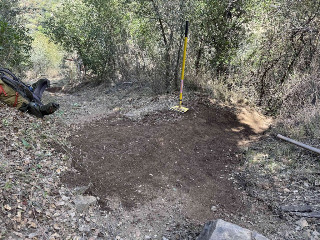
The Los Padres Forest Association has applied for funding to complete projects in the Ojai and Mt. Pinos Ranger Districts. All projects support the OHV program within the Los Padres National Forest. The opportunity for public review and comment is now open. Please select “Grants and Cooperative Agreements Program – 2024” and search for Los Padres Forest Association to access preliminary applications. Thank you.
Tag: Ojai Ranger District
Thomas Fire Closure Update & NTD 2018
- While the Forest Service has reopened their previously closed land, both the City and County of Santa Barbara have decided to keep their portions of the burn area closed. You can read more details on the Noozhawk article by Ray Ford. The City and County of SB control much of the lower portions of the Santa Barbara Frontcountry, including the trailheads at Cold Spring, San Ysidro and Hot Springs Canyon. This means that while the upper Frontcountry within the Los Padres is open, people cannot access the trails through the more popular lower trailheads. This has created a bit of a conundrum as stakeholders and trail-users attempt to figure out the best ways to legally enjoy the trails. We’ll keep you posted as news develops……..
- The LPFA has been busy over the past days installing yellow warning signs at the trailheads around the Thomas burn area, see photo below. Please do be careful if you are within the burn area. There are many loose rocks and hazard trees that have not succumbed to gravity quite yet. Pay special attention on switchback sections where people above might trigger a loose rock on trail users below. Also, if you plan on camping in the burned area, be really careful of hazard trees and limbs that might fall.
- Portions of the town of Montecito remain in a state of disrepair as they continue to deal with repercussions from the Thomas Fire and January 9 debris flows. There is still a lot of heavy equipment moving rocks and pushing dirt, and some shocking house damage remains within the community. Please be mindful and respectful.
- The Romero Camuesa Road from Romero Saddle down towards Pendola remains closed to vehicles/motorcycles as does Divide Peak OHV. Hikers and bicyclists are able to use these roads. No timetable has been set as to when the road and OHV route might reopen but don’t count on it happening anytime soon.
- Both Rose Valley Campground and Middle Lion Campground remain closed. No news as to when they might reopen.
- While the forest is open, most of the trails have received little or no trail work since the winter rains. You should plan on the trails taking significantly longer to travel than normal and be careful attempting shuttle trips as there may be some impassable sections of trail that may cause changes in your plans.
- There have been some reports from within the burn area of the dreaded fire-follower plant called the Poodle Dog Bush. Our unfriend, the Poodle Dog, causes human reactions similar to poison oak. It’s a very picturesque purple flower that can grow in large robust fields that look like something you should dance through rather than skirt around. Google search it please…….
Other than that, the forest has been reopened from the lower Sespe out to Gibraltar Road and up to Hwy 33. Enjoy, be safe and please let us know if you come across any downed trees or horrible sections of trail that need significant work. We’re helping compile a list of trail issues and any assistance you can provide would be greatly appreciated.
Please share your reports on www.HikeLosPadres.com. THANKS and be safe!
This was (is) Matilija Camp? NATIONAL TRAILS DAY
MATILIJA TRAIL, Ventura County
The LPFA is organizing a trail project into the Thomas Fire burn area and focusing on restoring the lower portion of the Matilija Trail from the trailhead up to Matilija Camp. The trail is covered in downed trees (crosscut sawyers needed) and burnt brush that we’ll be clearing from the trail corridor and if time allows we might work to uncover Matilija Camp, which was buried in boulders. We’ll be meeting Saturday at 8am at Wheeler Gorge Visitor Center and working until 2pm. REI will be joining us back at Wheeler Gorge with their famous “CHILL ZONE” and we’ll have a quick BBQ for the volunteers around 3pm. It should be a special day and a lot of fun. For more information check us out here or email INFO@LPForest.org
DAVY BROWN TRAIL, Santa Barbara County
The LPFA will also be hosting a trail project on June 2 along the Davy Brown Trail, off of Figueroa Mountain near Los Olivos. We’ll be meeting at the upper Davy Brown Trailhead at 8am and from there working down Davy Brown and perhaps out the Willow Spur Trail. Work will be mainly clearing downed trees and brush from along the trail. Mike Smith is the project leader and we’ll work until the afternoon before returning to the trailhead. Davy Brown is one of the more scenic trails in the area providing ocean views from the trailhead as well as views of Hurricane Deck. It’s also home to a great variety of plants and flowers that make Figueroa Mountain so famous. We hope to see you there. Please RSVP if you can make it (INFO@LPForest.org) and click here for more details.
BOULDER CANYON TRAIL, Ventura County
Mark Subbotin will be leading a sawyer assault down the Boulder Canyon Trail along the northern slope of Pine Mountain. There is an estimated 20+ trees down along the trail and we’re fairly certain they’ll get them all! This is also part of the Condor Trail. Details will be provided by Mark and the Mt Pinos Volunteers, you can reach Mark at: MSubbotin76@Gmail.com.
HORSEPASTURE TRAIL, Monterey County
The VWA is hosting a car-camping potential multi-day project along the Horsepasture Trail. They’ll be working hard on Saturday and then playing equally hard on Sunday. Sounds like a great project and a terrific way to get to know the area and the people who help keep the trails open. RSVP required, please click here for more details.
The Quick Gray Fox Jumps Over the Newly Restored Trail, photo Humphrey
FOREST 411
• GREAT NEWS! The Ojai Ranger District released a scoping letter last week outlining an environmental proposal to approve all the ORD trails for Level 1-2 trail maintenance. See attached letter to learn more and please respond if you’d like to see the Ojai trails improved.
• This weekend marked the launch of a temporary shuttle service that shuttles visitors from the Big Sur Station parking lot down to Pfeiffer Beach and back. Beach access to Pfeiffer and overcrowding has been a serious problem over the past decade and the shuttle service is a pilot project to see if a shuttle can prevent traffic jams along Sycamore Canyon Road. By most accounts the first weekend was a big success. We’ll share more information on this in a future email.
Pay Attention to the Thomas Fire Warning Signs, and Especially Pay Attention to the Signs of Thomas Fire Warnings, photo Gordon J.
Ojai Edition: Wheeler Gorge, Sisar and More
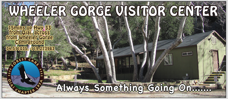
Back to plans for the weekend. If you are an early riser, get up Hwy 33 around dawn and go do what you do in the forest. Bag that peak, run that trail, go for that ride, etc…. Then stop by Wheeler on your way back home and tell us all about it! Check out the used gear, high-five Smokey and enjoy the afternoon under the Sycamores at the Visitor Center.
Now, if you’re not an early riser or if you have younger kids, wake up slow, get some breakfast and head up to Wheeler in the late morning. Check out the booths, learn about condors, get some lunch and after the Open House head up Hwy 33 to the Sespe for an afternoon dip in the pools around Piedra Blanca. Or come with your camping gear and make a weekend out of it at one of the nearby campgrounds or backcountry campsites. Lots of options, make Wheeler a stop along the journey, there’s always something going on at Wheeler Gorge, especially this weekend!
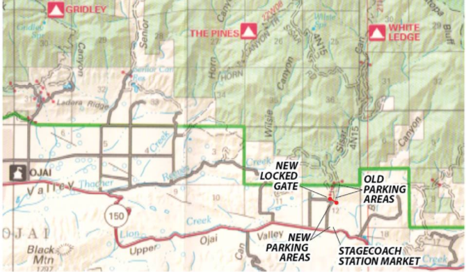
The 0.45 miles of dirt road between where the pavement ends and the forest boundary is privately owned. Over the past decade the owner of the land has been dealing with issues ranging from illegal campfires to 4WD doughnuts across their fields. Despite repeated attempts to stop this misuse of their property, the landowners have now installed a gate at the start of their property which prevents vehicle access to the two established parking areas. Note that the land owners posted signs at the location of the new gate close to a year ago indicating that this change was going to happen. The owner is still allowing passage up the road and across their property but now forest-users will have to either park at a newly created parking area about 100 yards below the new gate (holds approx 8 vehicles) or at the Stagecoach Station Market along Hwy 150.
Note that the new gate is both equestrian and bicycle friendly. This change is not preventing forest access but it is adding additional mileage for forest-users. If you park at Stagecoach Station it’ll add about 0.5 miles of walking/riding to the new locked gate and then another 0.45 up to the forest boundary gate.
Another Secret Sespe Oasis
Woo Hoo for Chaparral
— • — • — • —
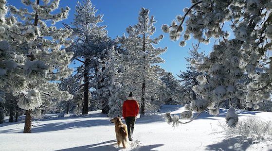
Pinos Purity, first tracks by Tessa Soutar