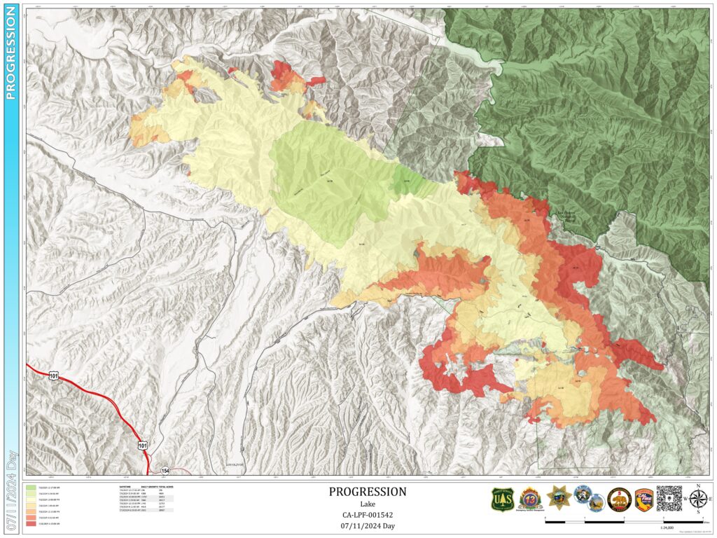
Lake Fire Progression Map as of 7/11/24, courtesy of Inciweb.
FIRE RESTRICTIONS AND THE LAKE FIRE
Fire restrictions went into effect across the Los Padres Forest on June 29th as fuel moisture levels dropped toward record low levels. Restrictions mean a few things, including no open fires, campfires or charcoal fires permitted outside of developed recreation sites or designated Campfire Use Sites, as well as no smoking. However, stoves are still permitted in the backcountry and you can grab your fire permit here. Remember to view the full order on the Forest Service website.
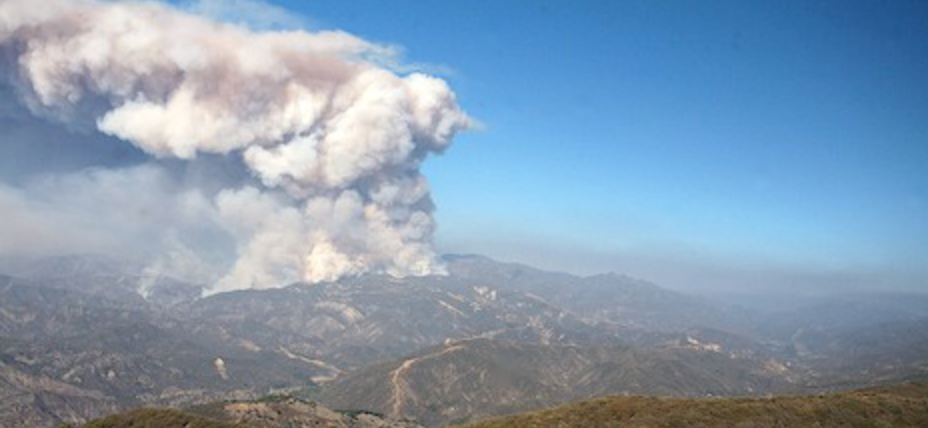
The Lake Fire ignited in the late afternoon on Friday, July 5th near Zaca Lake, just days after forest-wide fire restrictions went into place. The fire began during a record-setting heat wave that hit most of the state, with some areas of the Los Padres seeing temperatures as high as 116 degrees. As of today, the Lake Fire has burned over 34,000 acres and is trending in a southeast direction toward Sunset Valley Road and the southern San Rafael Wilderness. There are over 3,000 personnel on the fire. The most up to date info can be found here.
The Lake Fire has prompted a special Forest Closure Order which includes the Figueroa Mountain Area and portions of the southwestern San Rafael Wilderness near Manzana Creek. A detailed map of the closure area can be viewed here. Also, check out below for a map-based look at nearby fire history, as well as some alternative options for summer in the LP.
Stay safe everyone, and thank you firefighters!

The Lake Fire Forest Closure includes the Figueroa Mountain area, as well as much of the southern San Rafael Wilderness.
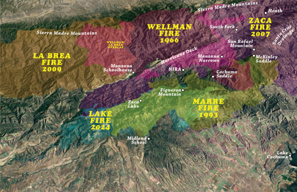
Mapping of fire history can help predict new fire activity.
What can fire history tell us?
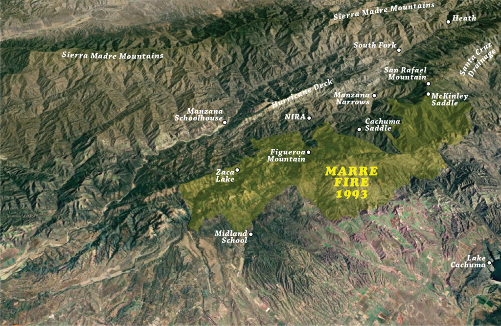
The Lake Fire started in the late afternoon July 5 somewhere in the Zaca Lake drainage. The cause of the fire is still under investigation. The Lake Fire ignition point was very close to where the Zaca Fire had started 17 years and 1 day earlier on July 4, 2007. If you are reading this, then you probably have some interest in this wildfire and where / what it might burn in days, weeks and perhaps months ahead.
While the weather will largely dictate the direction and duration of the Lake Fire, we can also look at the behavior of past wildfires and study decisions made during those fires to help understand where this current wildfire might be headed. This is known as the fire history. Fire history is a tool that can show us many things such as the strategy of how previous wildfires were fought, where historic firebreaks have held or lost the fire, how many years (or decades) of vegetation fuel might be ahead of the fire and more.
Just to be clear, we’re not professional fire predictors by any means. We aren’t meteorologists. We aren’t fire behavior specialists. We don’t have a seat at the table when fire decisions are being made. But we know the Los Padres and we have seen too many wildfires ravage our beloved forest. If you spend any time in this forest, you know how devastating these fires can be to the vegetation, the waterways, the critters, the trails and our ability to recreate in the forest we love. That being said, let’s take a closer look at the Lake Fire and the fire history in this part of the Los Padres. Perhaps we’ll see some trends to help figure out where and for how long the Lake Fire might be burning. Click here for an in-depth look at the fires surrounding the Lake Fire burn area!
Los Padres Summer Locales
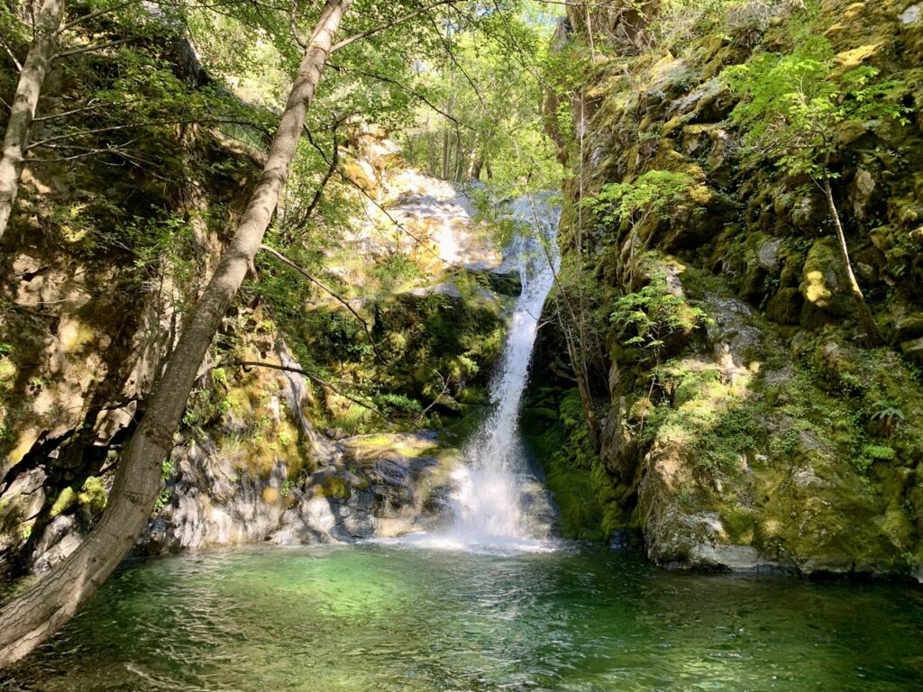
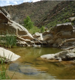
There are still lots of refreshing swimming holes to be found this summer….
Luckily, it seems the extended heatwave of the past week is on its way out. And if you’re looking to get out into the forest this summer, there are still great places to explore in the Los Padres:
- Highway 1 north of Big Sur is open and the area offers great coastal access, as well as numerous trailheads into the *usually* cooler coastal side of the Ventana Wilderness. Much of the coastal Silver Peak Wilderness can be accessed from Highway 1 north of San Simeon as well.
- Arroyo Seco Day Use Area has reopened on weekends, from 8am – 6pm. Though the official parking area will be limited to the first 100 cars each day. Get there early and enjoy the day cooling off in Arroyo Seco River
- It’s still looking hot this weekend, but don’t forget that higher elevations will be cooler! Recreating in the Mount Pinos area is great this time of year, as well as exploring the higher elevations of the Sespe Wilderness. Don’t forget to check HikeLosPadres.com before your trip to estimate water availability, and make sure to leave a report when you return so others can do the same!




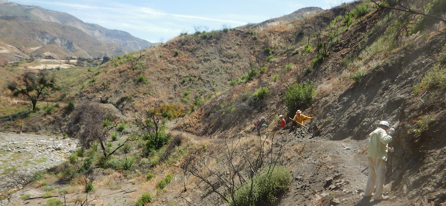
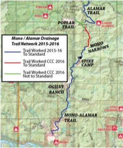
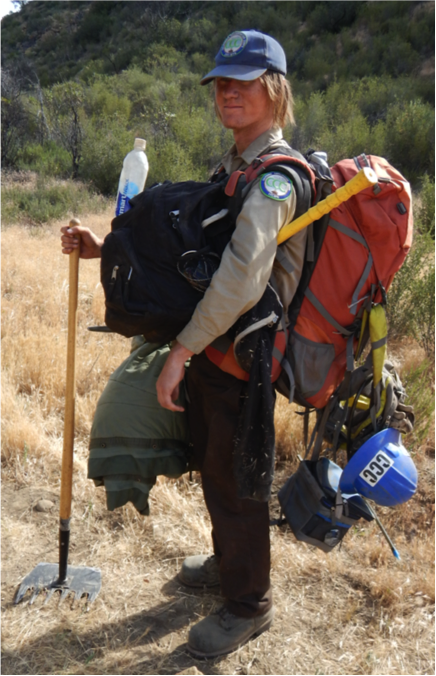
 CCC Mono-Alamar Trail: Caracole Section