| Hello Friends, It’s been a busy couple weeks and we’ve been fielding a TON of questions about the current storm related closure that is impacting most of the Los Padres National Forest. Information is changing by the hour but here’s the latest as we come out of a beautiful winter weekend: |
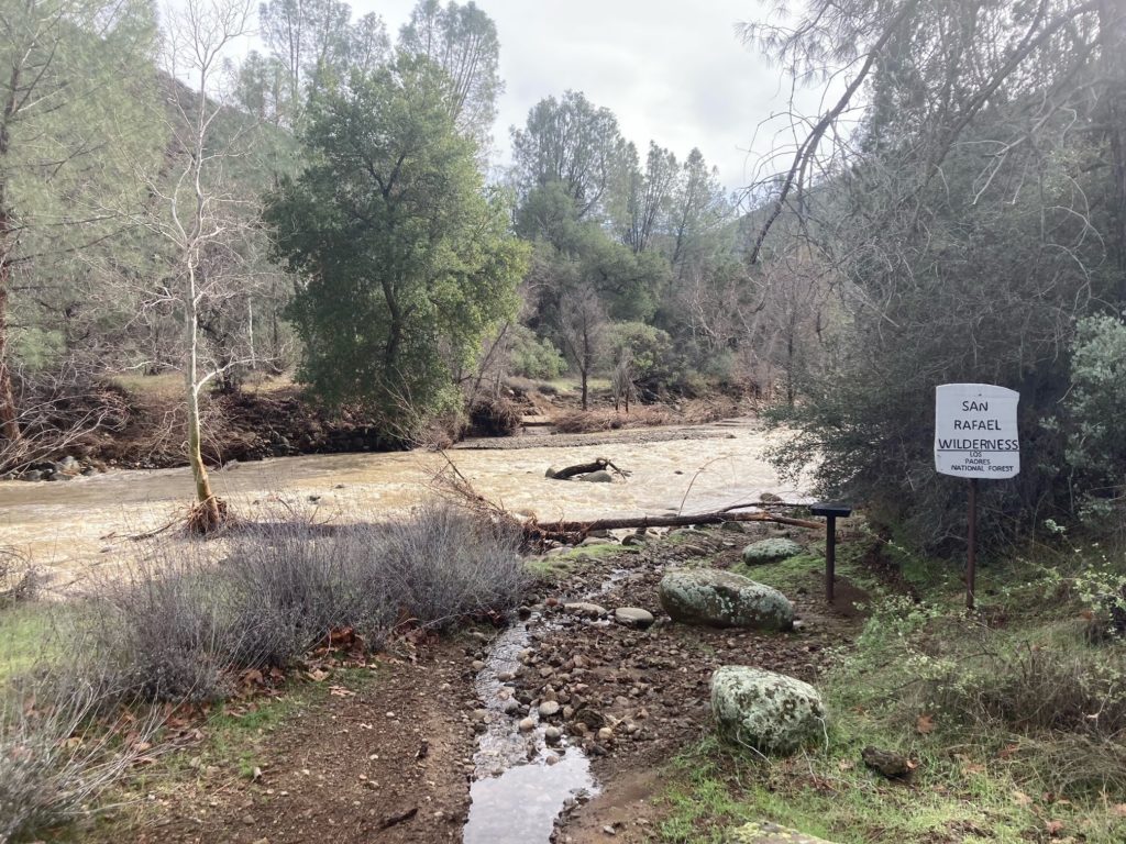
• The majority of the Los Padres remains closed through March 14. This includes all of the Ojai, Santa Barbara, Santa Lucia and Monterey Ranger Districts. The Mount Pinos RD is open, yet all the usual winter seasonal gate closures are in effect and be prepared for additional closures or delays from other storm related road damage. If you plan on heading out to the MPRD, be sure to check in with CalTrans or other sources to ensure your roads are open and passable. Still a lot of storm related damage out there…..
• The Forest Service has been busy this past week primarily working on clearing roads, assessing infrastructure damage and assisting with the liberation of multiple stranded communities. There remain over 150 people stranded due to road closures and storm damage. Most of the access roads into the forest are closed and in some cases may remain closed for quite some time.
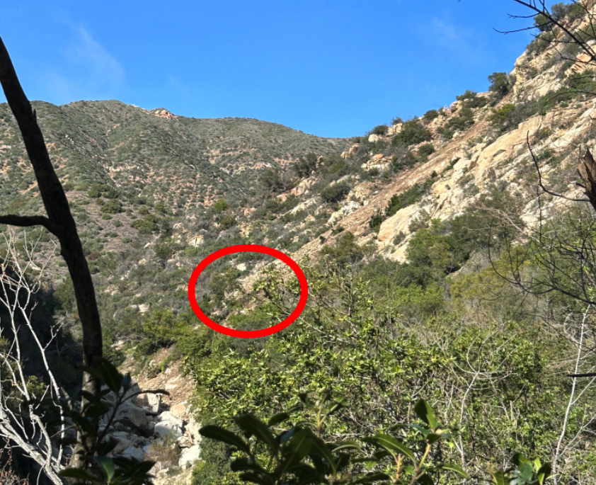
• In support of the Forest Service and other land agencies, the LPFA has started surveying many of the frontcountry trails above both Santa Barbara as well as Ojai. While the backcountry may be closed for some time due to road closures, the strategy is to get the frontcountry reopened as soon as possible and then work out and back from there.

• Unfortunately we’re seeing substantial damage (slides, washouts, gullies, sinkholes, etc….) across most frontcountry trails and in a few cases showstopper damage that won’t be repaired anytime soon.
• The LPFA Trail Crew has been working with Montecito Trails Foundation to repair some of the trails within and above Santa Barbara. We will be preparing weekly progress reports and sharing with agencies in order to hopefully modify the closure to reopen trails as they are repaired.
• We’ve also been collaborating with MTF and Santa Barbara County Trails Council to restore some of the trails that are outside the current forest closure. It’s a good idea, if you are ‘jonesing’ for a trail, to branch out and explore your local parks, open spaces and managed lands.
• We understand that many of us are frustrated at not being in the forest or visiting our favorite trail or camp. There is a lot of significant damage out there, please try to be patient. We’re pushing hard to help get the surveys completed, get damage repaired and hopefully get portions of the forest reopened as soon as possible.

EATING AN ELEPHANT
Some good news to share….. With the help of Montecito Trails Foundation, we will be leading 5 days of volunteer trail projects in the Santa Barbara Frontcountry starting Tuesday January 24. Please click the link below to sign up. Due to the nature of the needed trail work, we are limiting the number of volunteers each day. There have been a lot of you (THANK YOU) interested in volunteering and we’ll hopefully have some larger scale volunteer days ahead but for now we’ll be starting small and ramping up. We’re also hoping to have some volunteer days in Ojai soon as well, hint hint, lets do it!
We’re also in need of help with our hired Trail Crew. If you are looking for a job, love being in the forest and have some time to spend repairing damaged trail, please let us know.
TRAIL CREW APPLICANTS CLICK HERE!
Thanks everyone for your support and patience. While all the water has been super damaging, it’s a good thing in the long run. We’re going to have some amazing pools this spring and for years to come.
