Hello Friends,
As of February 7, the majority of the Los Padres Forest remains closed due to severe storm damage. This includes all of the Monterey, Santa Lucia, Santa Barbara and Ojai Ranger Districts. The Mt Pinos RD is open with the caveat that all their usual seasonal gates are currently closed for the winter.
We’ve been hearing the complaints and understand the frustration over the forest closure. We all want to be out in the forest doing what we do, going where we go and seeing what we see. Nothing beats a February backpacking trip in the Los Padres, it’s the best time IMO. The closure is no fun, we get it. That being said, many of us, including Forest Service staff, have been working real hard to try to get the forest reopened. Right now information is changing by the day but here’s our best update on what’s been happening, where we might be headed and what hopefully will be occurring soon:
The Storm
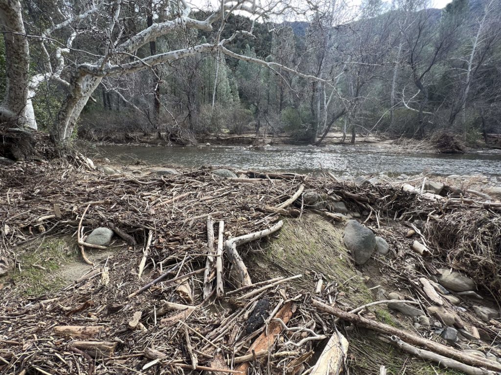
Big rains. Lots of damage. Safety takes precedence. Forest closes. The first couple weeks after the storm events were dedicated to road and infrastructure damage assessment, getting those roads open and restoring access for the hundreds of folks stranded behind damaged Forest Service roads. Click here for a recent Ray Ford article in Noozhawk which documents some the damage from around Santa Barbara County.
Trail Assessments
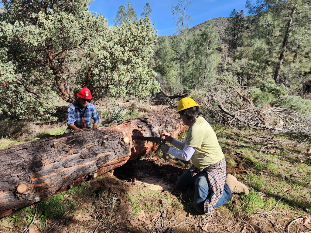
Sun shines. Water levels drop. People get out. Progress is made. Many roads across the forest have now been cleared and in some cases reopened. The Forest Service has begun assessing trail conditions and recreational forest access. This is where the LPFA and other partner groups have gotten involved. Over the past few weeks, LPFA staff and volunteers have now surveyed over 100 miles of trails across the forest and that number is substantially higher if you include all the surveys from other FS partners and FS staff. All of the assessment information is being shared within a central database so that the Forest Service can evaluate the magnitude of the damage and initiate a strategy for repair, reopening and requesting funds. A big focus of the surveys has been looking for extreme showstopper trail damage that would prevent a trail user from safely getting from point A to point B. We’ve found more than a few of these showstoppers.
The Polygon Plan
The trail surveys began on the frontcountry trails, places where access to the trailheads is paved. From there the surveys have slowly ventured deeper into the forest including assessing some of the wilderness areas. We have collectively seen a lot of what happened across the forest and unfortunately the damage is significant. The Forest Service has been leading daily forest-wide update meetings and their sincere hope is to systematically reopen ‘forest polygons’ once trailhead access has been established and the trails within those polygons have been surveyed and adequately repaired. The FS is putting an emphasis on reopening the more popular frontcountry polygons but it is possible that some backcountry polygons might be the first ones to open up. There has been discussion that Wilderness and backcountry trails won’t need the same level of repairs as frontcountry trails since it is understood that Wilderness trails are more challenging for the trail user. As of today, two smaller non-forest managed polygons in the SB Frontcountry have reopened and more should be following soon.
Grand Reopening?
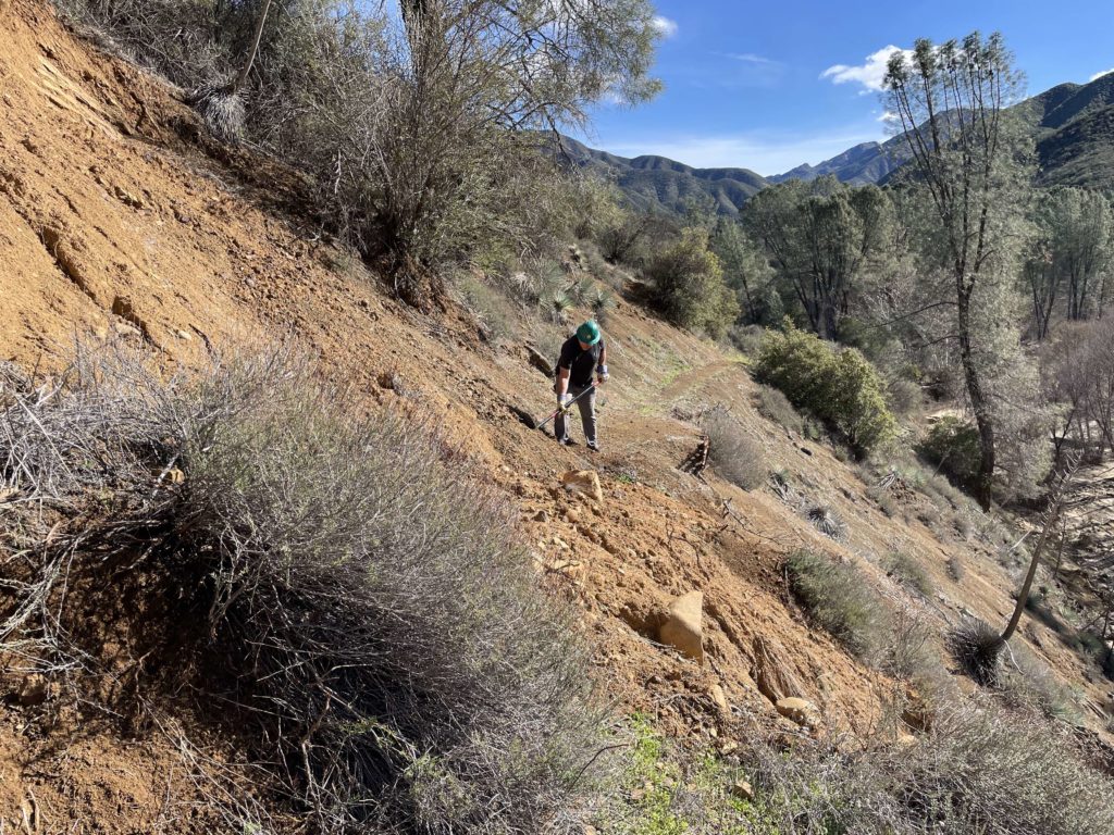
Knowing that approved forest polygons are needed in order to reopen portions of the forest, many of the trail groups across the Los Padres have been working like crazy the past couple weeks strategically focusing on needed trail repairs within some of the low-hanging-fruit polygons. We’ve been fixing undercut sections of trail and sinkholes, clearing large washouts and downed trees and ramping in and out of flood cut gullies. Progress has been slow, but steady. It is likely that some larger polygons will be reopened soon, hopefully within the week – knock knock.
— • — • —
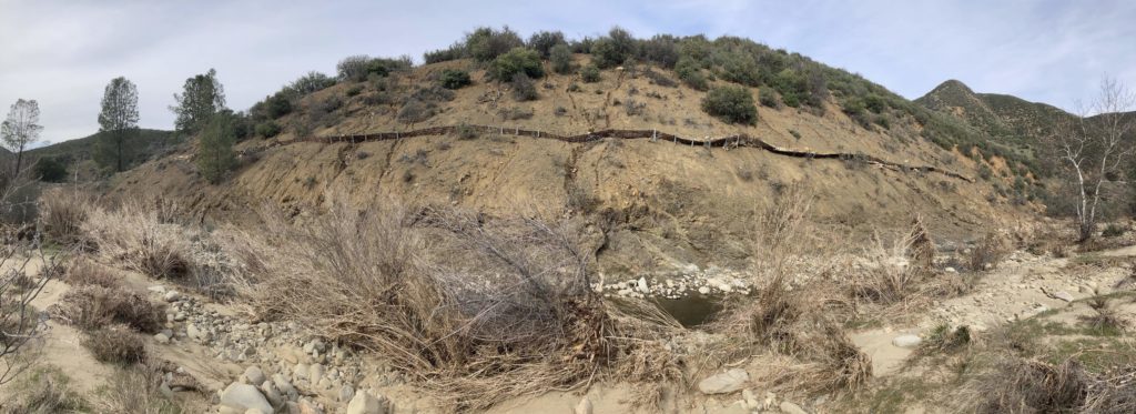
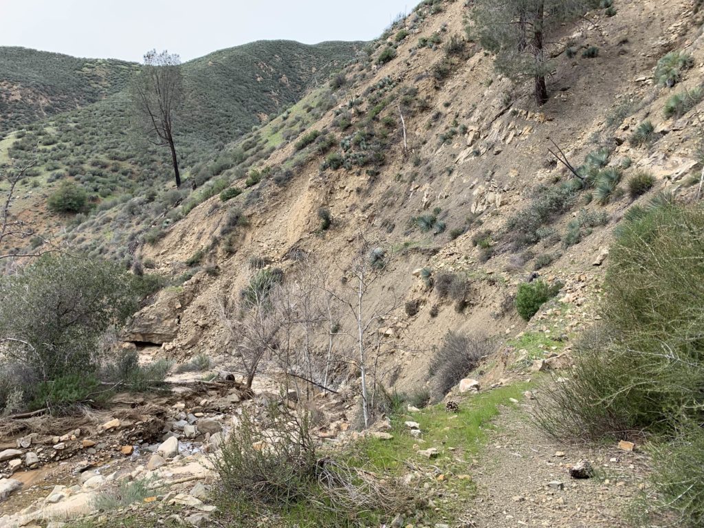
While many of the frontcountry trails have been seen or documented on social media, we’re just starting to get eyes on the much bigger backcountry. The Ventana Wilderness Alliance has been surveying the Big Sur Backcountry and the LPFA was finally able to get into NIRA this past weekend to survey the trails up and down the Manzana. All the photos within this newsletter are from this past weekend within the San Rafael Wilderness. There’s still a lot more of the forest to assess but we’re basically seeing wildfire level trail damage at a forest-wide scale and instead of ash we’ve got flood scour. There is going to be major repairs on all the trails and while we documented hundreds of damaged sections of trail within the 25 miles of surveyed backcountry trails, we didn’t see any showstoppers nor any areas that were truly impassable.
The biggest issue we’ve seen is at the creek crossings. Just about every creek crossing has changed. Where you’d expect to see the trail is now covered in mud, roots and stacked logs with a 4-6ft climb in and out of the creek. In some cases it’s going to be years before the trails are back to where they were before these storms. That being said, we’re recommending that the NIRA polygon and hopefully other backcountry polygons be reopened with the understanding that the trails are not stock passable, that trail-users will at times have trouble following the trails, that trail users may get turned around somewhere out there by a showstopper and that trail users should expect to travel much slower than normal. We’re looking forward to continued reopening polygon discussions with the Forest Service later in the week. Stay tuned!
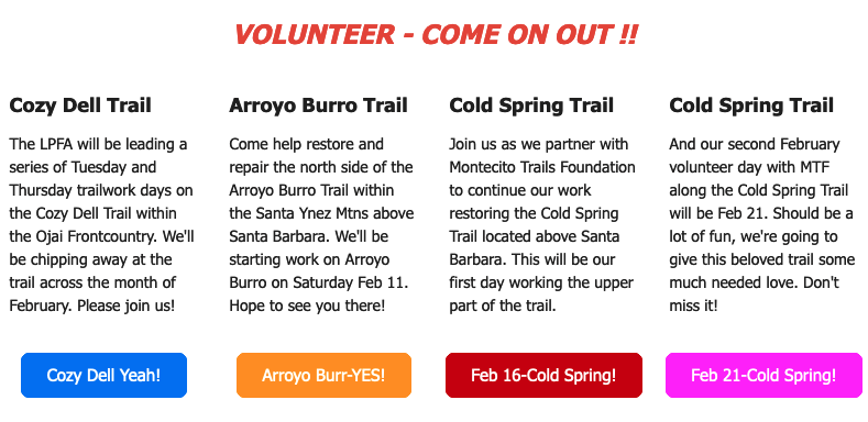
In the meantime, we’ll keep pushing hard to continue surveys, continue opening up trails and continue working with our partners and the Forest Service to define those polygons which can be reopened. If you’d like to help, we do have some volunteer opportunities listed below, donations always help and keep an eye on social media for more upcoming projects as well. Thanks everyone for your patience, it’s going to be a beautiful spring in the forest.
