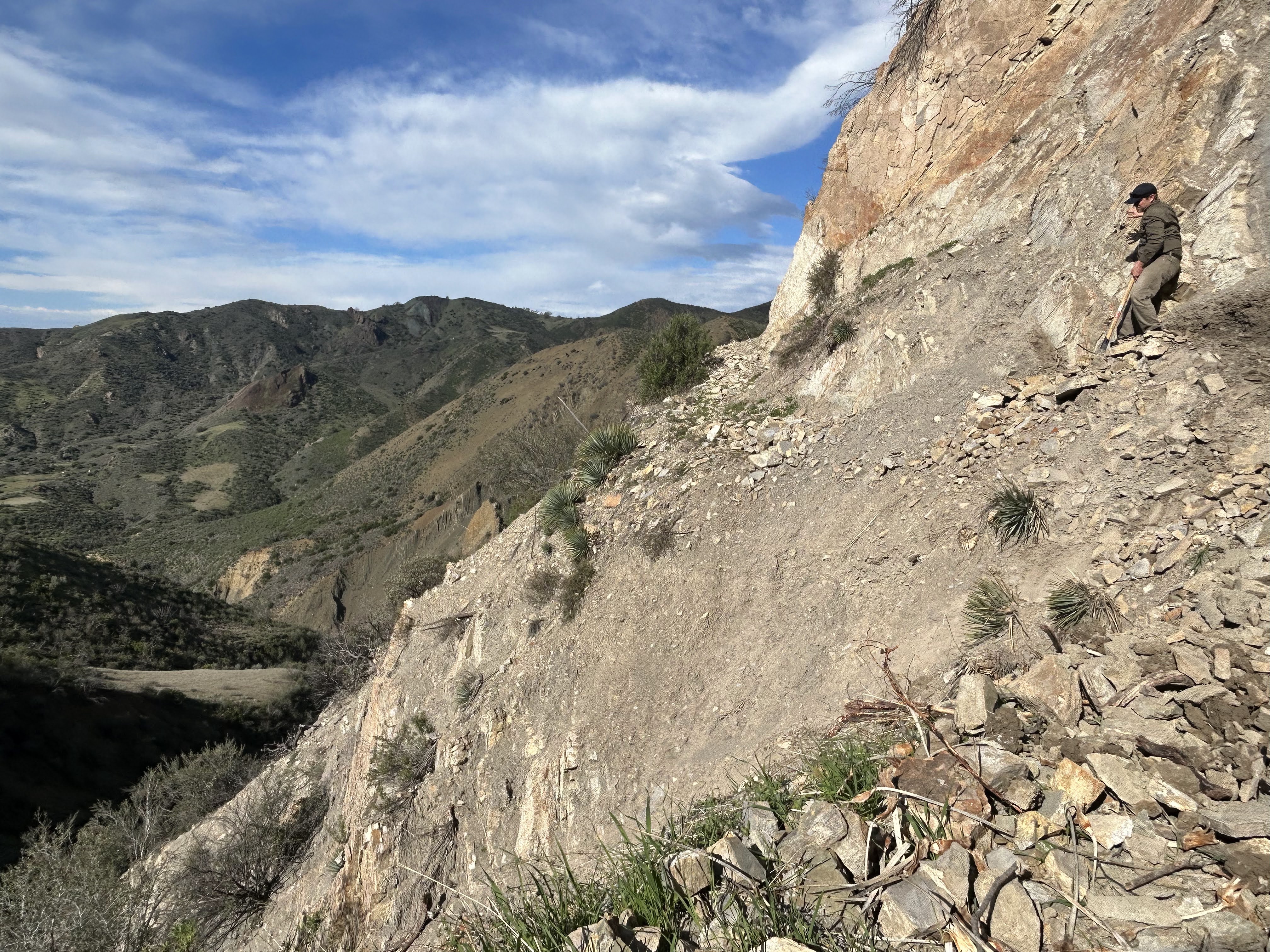
The trail restoration was part of a joint project between LPFA, SBMTV, MTF, SBCTC and the Forest Service.
Photo Ray Ford

In case you didn’t see the Forest Service announcements on their proposed La Brea Restoration plans we’ve included some information about the plan below. This appears to be the final opportunity for the public to comment on the La Brea Restoration so get your thoughts down on paper or screen and send them in before August 20.
Have a great weekend and we hope you find some time in the Los Padres while you’re at it. If so, please share photos, we’d love to see how it’s looking and what fun you’re having……..
 LA BREA RESTORATION UPDATE
Since that time the Forest Service has been working to develop a restoration plan for the La Brea closure area. They’ve organized field events to show the damage along La Brea and also reached out for public comment on how we believe the FS should manage this area. The end result of this many year process is that the FS is recommending a proposed action for the La Brea Area which would essentially close the La Brea Road to motorized access while creating improved access to the area for non-motorized recreation. Please read the fine-print here and below is a quick outline of the proposed actions (seeing attached map might help):
- Reopen La Brea Canyon Road coming from Miranda Pine down as far as Wagon Flat Campground. La Brea Canyon Road would then be closed to motorized travel at Wagon Flat both downstream along La Brea and also up towards Lazy Camp. Wagon Flat Campground would get a makeover including six campsites, a new toilet and the establishment of a trailhead used to access Lazy and the lower La Brea area.
- Kerry Canyon Motorcycle Trail would be converted to non-motorized. The portion of road between Wagon Flat and Lazy would be converted to non-motorized single track and become part of the Kerry Canyon Trail.
- Colson Canyon Road will be reopened down to the first crossing of La Brea Creek where a new trailhead will be established for accessing the lower portions of La Brea Creek. La Brea Road will be closed to motorized travel from the new trailhead at the bottom of Rattlesnake Canyon both upstream towards Wagon Flat and downstream towards Barrel Spring Campground.
- In addition there will be quite a few changes to some of the nearby campgrounds:
- Colson Campground, Alejandro Camp, Kerry Camp, Bear Camp and Lazy Campground will be decommissioned with their camp amenities removed where possible.
- Barrel Spring Campground would be reclassified as a primitive campsite since it would no longer be accessible by motorized travel.
We realize this is a lot to digest, especially if you are not familiar with the area or this proposal. The Forest Service is accepting comments on this proposal through August 20. You can comment here at this link. Let your voice be heard!
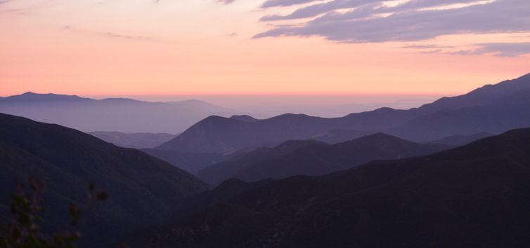
Sayin’ goodbye to August 15, photo Humphrey
• Quick correction from the last email, the only trails which remain technically closed in the Santa Barbara Frontcountry are West Fork Cold Spring and Cold Spring (southern side above Montecito). Thanks to Montecito Trails Foundation for the correction.
• Unfortunately the Mendocino Complex Fire in Northern California has now surpassed the Thomas Fire as the largest wildfire in California history. Here’s hoping that the Mendocino Complex Fire retains that title for a long long long time…..
• It seems to happen every year or two but an Oregon woman driving south along the Big Sur Coast swerved to avoid an animal and drove off the cliff and onto the beach some 200+ ft below. She survived for a week before finally being discovered and rescued. Amazing story for sure, check it out here.